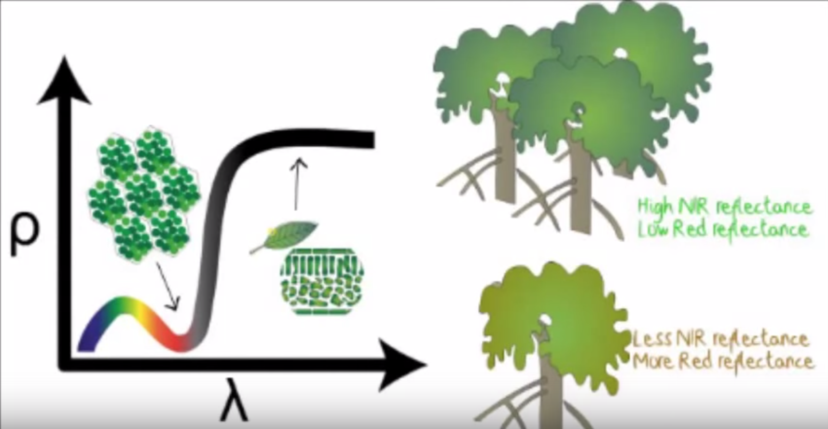
NDVI stands for Normalized Difference Vegetation Index which is an important parameter indicating the healthiness of vegetation. By using near-infrared imagery technology, a NDVI map can be drawn to reflect plant vigour in one area. A planter can then decide which actions to take in response to the NDVI result.
Traditional sources of NDVI map include images from satellites and manned planes which may take time to gather the result, and more budget may be required.Drone Dynamics provides drones with agricultural camera. By combining multi-spectral imaging systems with UAV technology, inexpensive NDVI maps can be retrieved easily at a daily basis and the planter can be more responsive to their plants!

