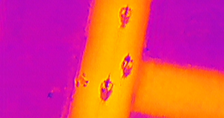
Kalmthout is located about 20 kilometers north of Antwerp, Belgium. Although being a small village of approximately 20,000 inhabitants the local firefighters are well equipped. Apart from their normal firefighting duties they also need to protect the natural reserve “Kalmthout Heat” against fire. Thermal imaging cameras are since long part of their equipment. Source: Thermal […]
Author Archives: Drone Dynamics Press
Great Brook UAS Storm Damage July 21, 2015
Severe thunderstorms hit Central Vermont on July 19, 2015 causing flash flooding on the Great Brook. The floods and associated debris causes major damage to the transportation network. On July 21st the University of Vermont’s UAS team deployed to Plainfield, VT to map the damage and the changes that have occurred in the Great Brook.
UAV Sensor Solutions
One primary usage of UAV is to collect high quality imageries, both visible and invisible, in order to obtain a higher level of detail. This data can then be further processed to make good business decisions, detect trends and predict future changes or potential issues that might arise. The imagery sensors used in UAV field can be categorized by light […]
What is GIS – GIS Explained | NorthernGIS
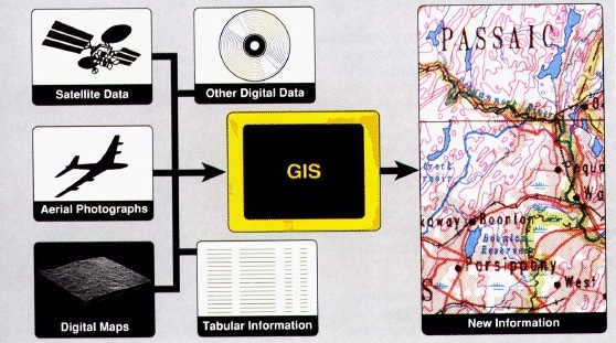
A Geographic Information System (GIS) is a system used for capturing, storing, manipulating, querying, analyzing and displaying geographically-referenced data Source: What is GIS – GIS Explained | NorthernGIS
Beyond military drones – the future of unmanned flight
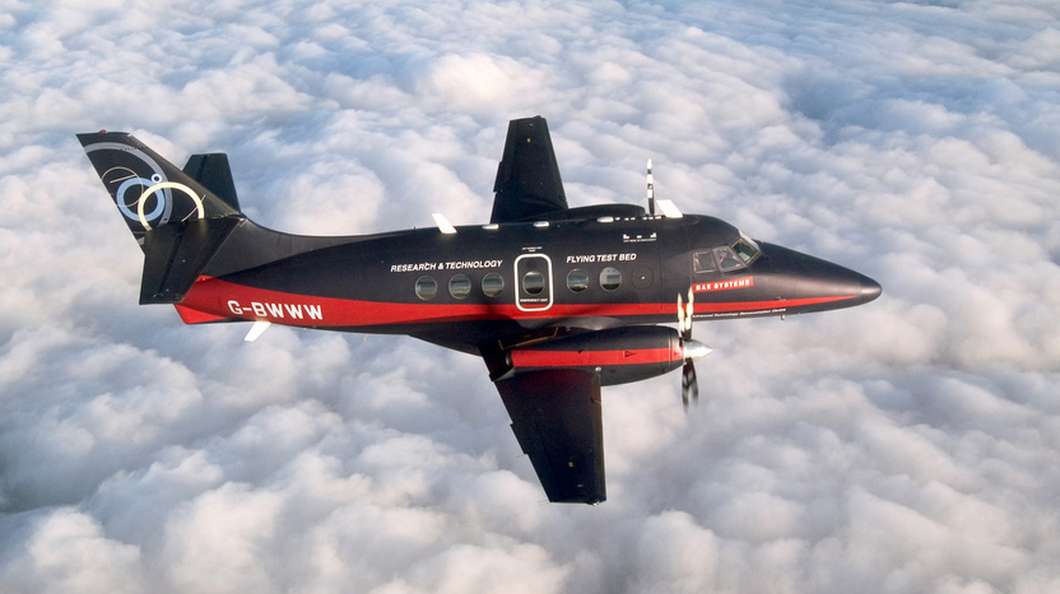
In light of a recent unmanned flight of a modified Jetstream aircraft by BAE, Gizmag looks at the future of civilian unmanned aircraft. Source: Beyond military drones – the future of unmanned flight


