Egret VTOL UAV System

Egret VTOL UAV System

Taking pride in our development, Egret is designed to be an advanced long-range VTOL UAV system which is capable of multiple aerial missions including but not limited to searching, rescuing, surveillance, orthophoto, 3D mapping, aerial photography and precision agriculture. Adapting the mobility and VTOL (Vertical-Take-Off-Landing) capability from multi-copter, Egret VTOL provides long-range flights as a fixed wing UAV and overcomes the difficulty to take off/land in rugged terrains.

Egret VTOL UAV System

Long Flight Time

60 mins Flight time

Payload

3 Kg Load Weight

Wind Resistant

12m/s (Beaufort Scale 6)

Long Distance

10 Km Remote Operation

Path Setpoint

Up to 600 Path Setpoint

Applications

Reconnaissance

Search and Rescue

Flood Investigation

Border Protection

Crime Scene Monitoring

First Responding

Specifications

Wheelbase

700mm

GPS System

GPS & GLONASS (or Beidou) dual system

Weight (without battery)

1900g +/- 100g

Battery Weight

1250g +/- 50g (14000mAH/22.2V)

Max. Takeoff Weight

4.2kg

Max. Flight Endurance

50 min with payload (>60min with radio only)

Climb Rate

1-3m/s (Adjustable)

Cruising Speed

1-20m/s (Adjustable)

Max. Operating Speed

20m/s

Operating Temperature

-10~45°C

Max. Operating Humidity

85%

Wind Resistance

12m/s (Beaufort scale 6)

Operating Ceiling

AMSL 4000m (6000m with high-altitude propellers)

RC & Telemetry

>= 5km (LoS, interference-free environment), optional 10km

Optical Camera

10X optical zoom / 1080p 30fps


  • Autonomous return to home on remote control failure
  • Autonomous return to home on GCS communication loss
  • Autonomous return to home or land (programmable) in case of low battery
  • Geo-fencing in both horizontal and vertical directions
  • Up to 50 minutes flight time* (with payload)
  • 5X Optical Zoom + 320P Thermal dual camera with 3-axis Gimbal
  • Up to 6km operating radius (interference-free, LoS). Optional 10km radio link.
  • Made-in-USA advanced flight controller and navigation system
  • Dust and splash proof ground control station with sunlight-readable (1000nits) 7” LCD
  • Obstacle avoidance and terrain following capabilities
  • Tool-free foldable design. Can be deployed within 1 minute without any tool
  • Dual GPS blending positioning with anti-interference shielding
  • Modular battery with electronic power button and battery capacity indicators
  • Low battery and radio interruption failsafe protections (auto return)
  • Fully autonomous flight, 1-click auto take-off and landing mission
  • Cross-platform (laptop/ tablet/ mobile phone) ground station operations
  • Equipped with deluxe waterproof backpack for best protection and mobility
  • Optional 4G/LTE radio link supports virtually unlimited remote capabilities
  • Sentinel X4-Plus Recon UAV system x1
  • 10X Optical Zoom camera with 3-axis Gimbal x1
  • 4GHz ground control station with sunlight-readable (1000nits) 7” touch screen x1
  • 2V Li-Ion battery cartridge x2
  • Rainproof backpack to accommodate all of the above items x1
  • 520W smart balance charger x1
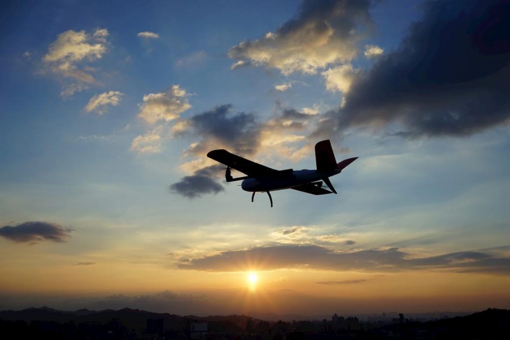
  • 4G/LTE radio link (for both video and telemetry)
  • 10km ground controller station
  • 5X Optical Zoom + 320P Thermal dual cameras


*  Test Conditions: Flying below 100m AMSL at fixed altitude, temperature: 15-25°C, wind: <= level 2, flying speed: <=30 km/h, fully charged new battery pack